


Groundwater Suitability Mapping in Jimma and Borena Zones of Ethiopia Using GIS and Remote Sensing Techniques
Friday, 29 August, 2025
This study applied Geographic Information Systems (GIS), Remote Sensing (RS), and the Analytical Hierarchy Process (AHP) to identify groundwater potential zones in Ethiopia’s Jimma and Borena regions, where surface water is scarce. By analyzing hydrogeological factors such as lithology, slope, land use/land cover, drainage density, and recharge, the study produced suitability maps showing that only 4.6% of Jimma and 6.2% of Borena are highly suitable for groundwater development. Most areas in both zones were found to have low suitability due to topographic and geological constraints. Validation with borehole data confirmed the model’s reliability. The findings offer a cost-effective method for groundwater exploration and emphasize the importance of geophysical surveys in complex terrains to improve mapping accuracy, aiding sustainable water resource planning and management.
Share this:
Latest News
-
 No Excuse for African Leaders in Advancing Continent’s Health Security Through Local Manufacturing
-
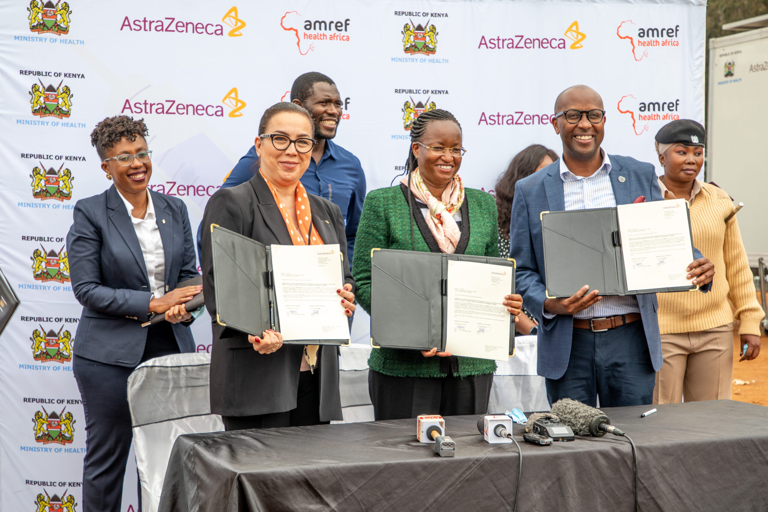
Amref and AstraZeneca launch mobile clinics to support last mile COVID-19 vaccination efforts in Kenya
-
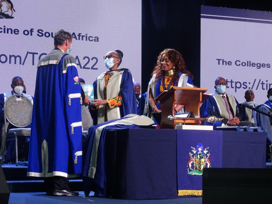
WHO REGIONAL DIRECTOR FOR AFRICAN REGION RECEIVES AN HONORARY FELLOWSHIP AWARD FROM THE COLLEGES OF MEDICINES OF SOUTH AFRICA
-
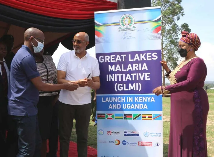
Kenya’s Fight Against Malaria Receives a Major Boost